
BigBlue
The offshore standard
Trusted by professional fishermen on every ocean.
Find productive waters. Find fish.


Dynamic ocean charts
Lead the fleet.
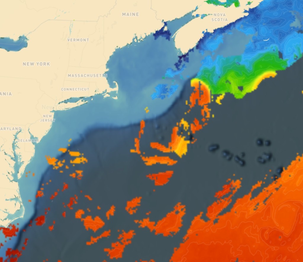
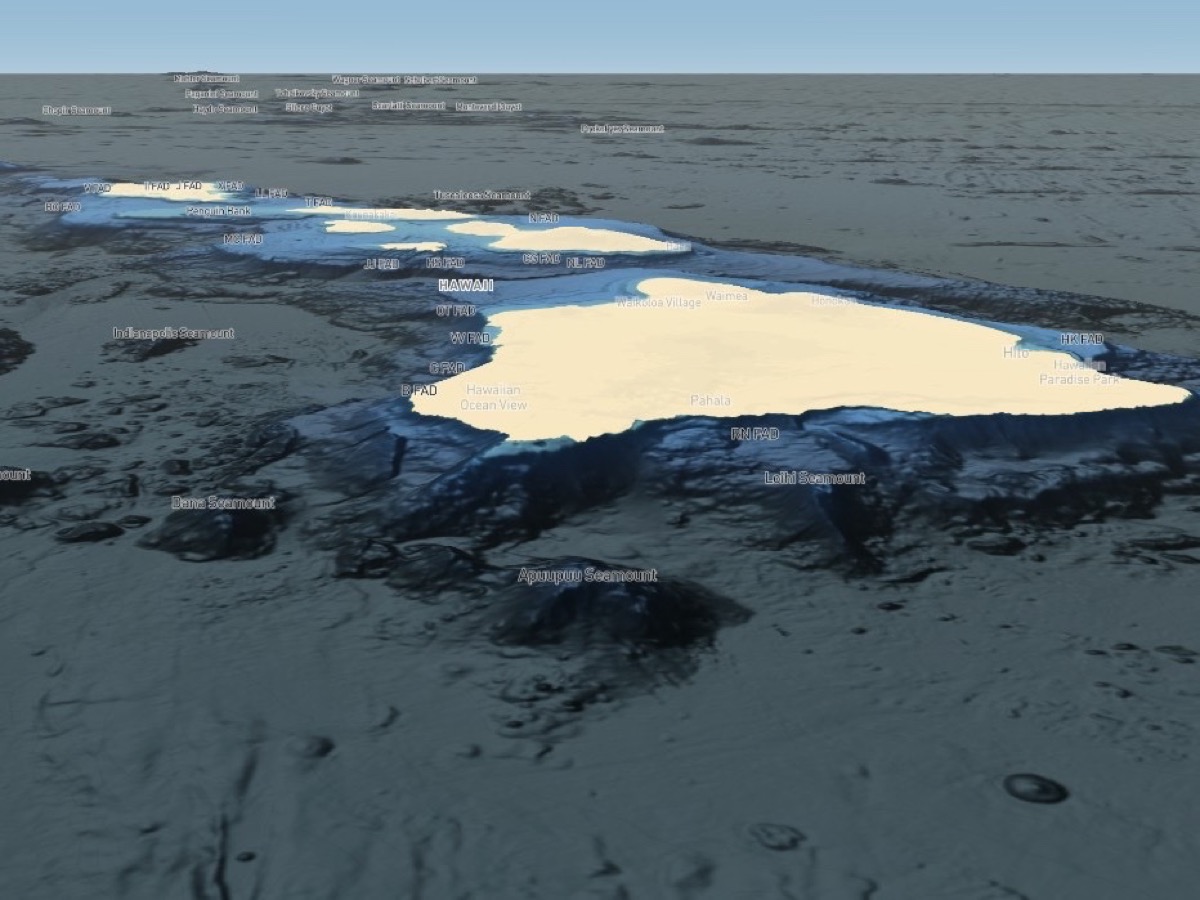
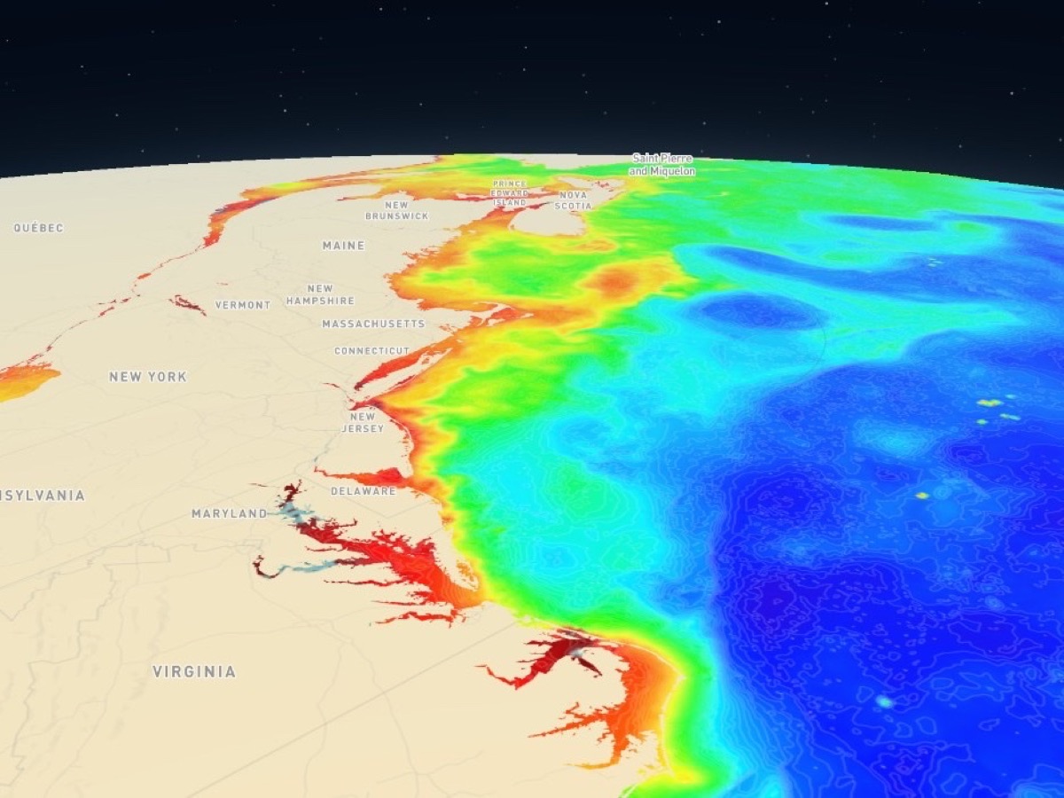
Use SST, chlorophyll, currents, wind, waves, and bathymetry to locate fishable edges before you leave. Spend your trip catching, not searching.
Why BigBlue
Built for commercial and tournament crews.
Dynamic NASA and NOAA data charts. Professional navigation tools built to be offshore.
- NASA & NOAA data Hourly GOES SST, MODIS/VIIRS/PACE color and chlorophyll, currents, wind, waves, SLA, and bathymetry - sourced from the satellite feeds and updated in near real time.
- Navigational tools HUD speed and distance, NOAA forecasts, great-circle lines, auto offline maps, plus AIS/GPS on BigBlue desktop when you’re at the helm.
- Built for professionals When fuel, time, and weather windows matter, use current ocean data before you commit - phone on deck, desktop in the wheelhouse.
Download
BigBlue on deck and at the helm
BigBlue is available on desktop and mobile. Our desktop application unlocks with professional plans and comes with AIS/NMEA instrument connectivity for your wheelhouse.
BigBlue Mobile
BigBlue Desktop